Projects
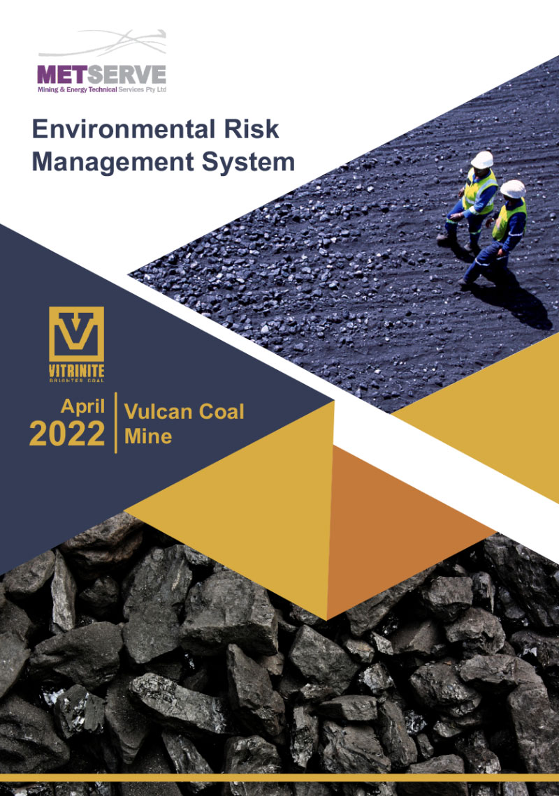
Vitrinite, Apr 2022 – Environmental Risk Management System for the Vulcan Coal Mine
The Vulcan Coal Mine (VCM) is located 34 kilometres (km) northeast of Dysart and approximately 33 km southwest of Moranbah in Queensland’s Bowen Basin.
This risk management system (RMS) has been developed in accordance with the VCM environmental authority (EA0002912) and AS ISO 31000:2018 Risk Management—Guidelines. The objective of the RMS is to document a process for environmental risk identification, assessment, management, communication, and review. This RMS can be applied to all activities conducted by Vitrinite as part of its on-site operations.
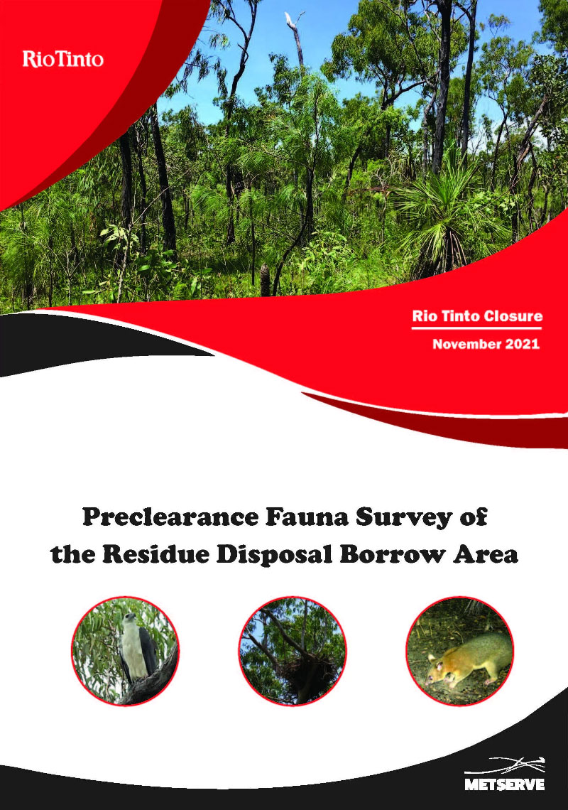
Rio Tinto Closure, Nov 2021 – Preclearance Fauna Survey of the Residue Disposal Borrow Area
Rio Tinto has governmental approval to clear 230 hectares (ha) of Eucalyptus tetrodonta woodland in order to extract materials for capping and rehabilitating residue disposal ponds at the Gove bauxite project. This project is known as the Borrow Area Development Project.
Preclearance fauna surveys that fulfilled commitments made in the NOI were undertaken in March and August 2021. These surveys involved a range of methods (including motion-activated cameras, owl playback, bird surveys, and targeted nest searches) designed to target the detection of the Black-footed Tree-rat (Mesembriomys gouldii gouldii) and other threatened animals that historically occurred in the region.
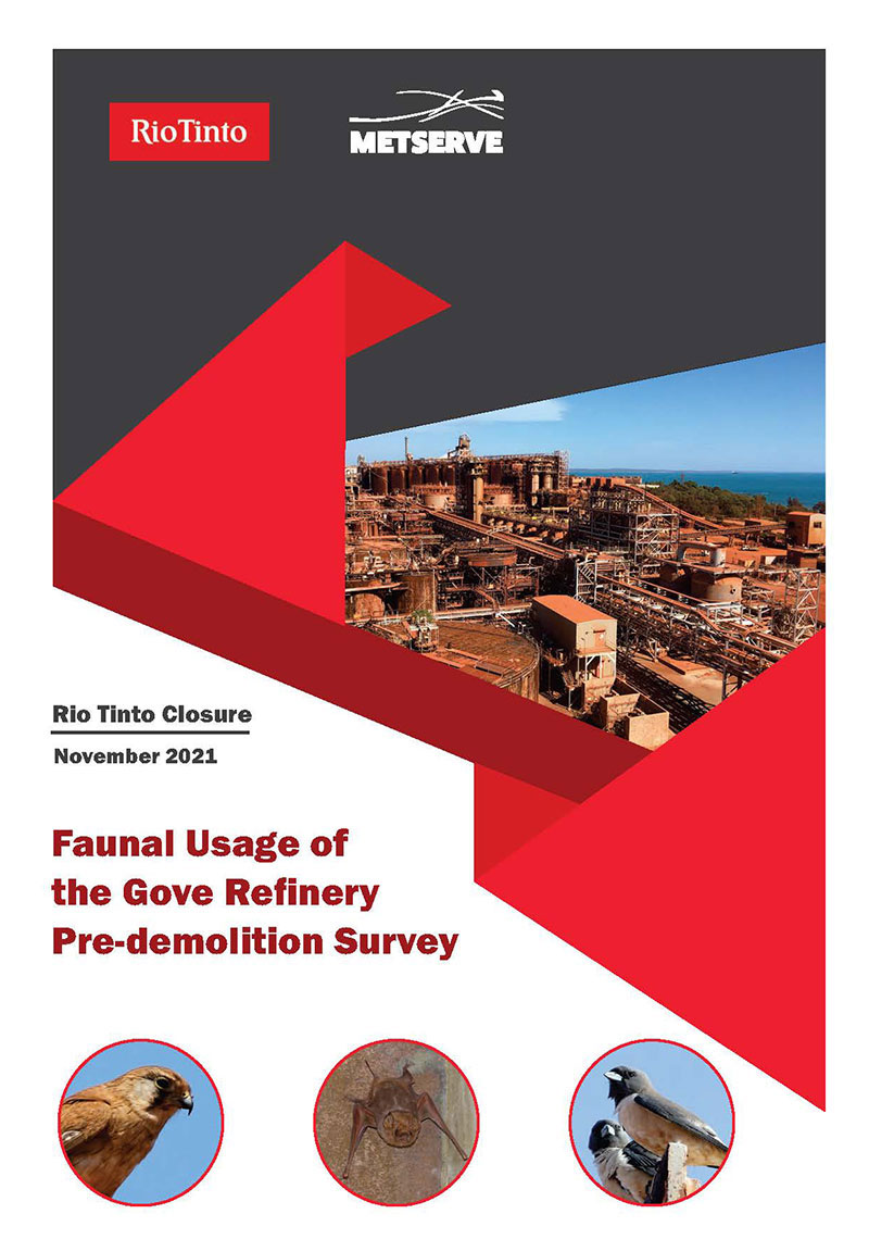
Rio Tinto Closure, Nov 2021 – Faunal Usage of the Gove Refinery Pre-Demolition Survey
Rio Tinto plans to decommission, dismantle and remove its alumina refinery on the Gove Peninsula over the next six years. A pre-demolition fauna impact assessment has been undertaken to identify bird species that currently nest on refinery infrastructure, and bat species that roost within it.
This impact assessment included desktop analyses of potential species present and a field survey undertaken during the breeding season for most local birds likely to utilise artificial structures for nesting.
The purpose of this assessment was to provide estimates of the species and numbers of individuals that will be “interfered with” during the demolition process (to inform the required Permit Application), as well as to suggest mitigation measures to lessen the impact of the demolition process on native fauna.
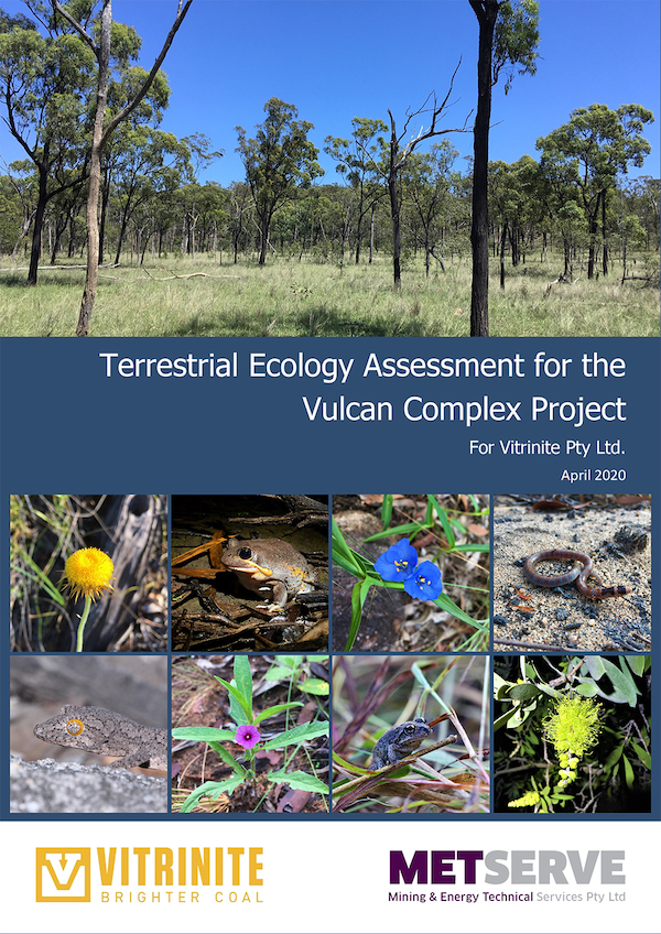
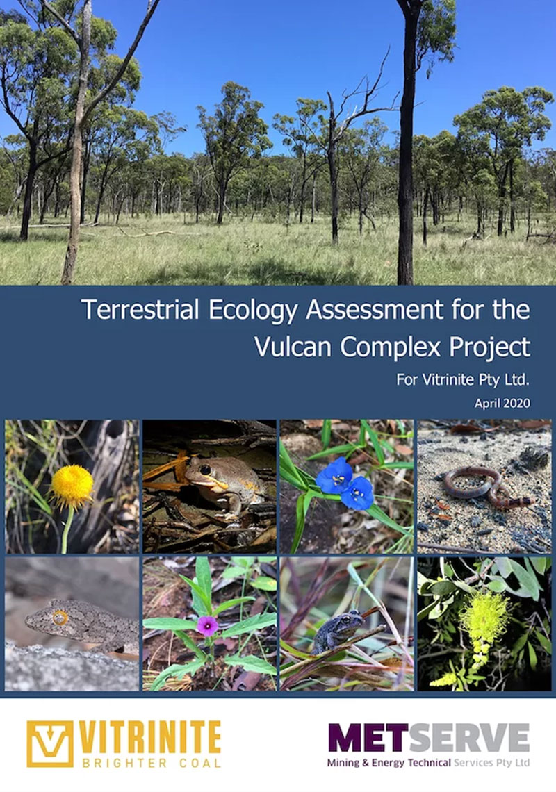
Vitrinite, Apr 2020 – Terrestrial Ecology Assessment for the Vulcan Complex Project
Vitrinite Pty. Ltd., owner of Qld Coal Aust No.1 Pty. Ltd. and Queensland Coking Coal Pty. Ltd. (Vitrinite) proposes to develop a small open-cut coal mine on a proposed Mining Lease (ML) within its exploration tenements EPC 1234 and 1732, midway between Dysart and Moranbah, Queensland.
This proposed mine forms the Vulcan Complex Project. In accordance with best practice, the Project has been strategically positioned to avoid disturbance to as many matters of State and/or National environmental significance as practicable. No protected conservation estates, wetlands or watercourses of high ecological significance, secured offset areas, environmentally sensitive areas (category A, B or C), threatened ecological communities or remnant vegetation containing endangered or of concern regional ecosystems will be disturbed by the Project activities.
Vitrinite, Jul 2021 – Progressive Rehabilitation and Closure Plan for the Vulcan Complex Project
The Vulcan Complex Project (the Project) is a small-scale coal-mining operation being undertaken by Vitrinite Pty Ltd (Vitrinite).
This PRC Plan has been developed in accordance with Sections 126C and 126D of the Environmental Protection Act 1994 and to meet the requirements specified in the Queensland Government’s Progressive Rehabilitation and Closure Plans Guideline (DES 2019a).
This PRC Plan presents Vitrinite’s strategy for managing Project activities in a way that maximises the progressive rehabilitation of the land to a stable condition, as well as specifying the condition to which Vitrinite will rehabilitate the land before the EA is surrendered.
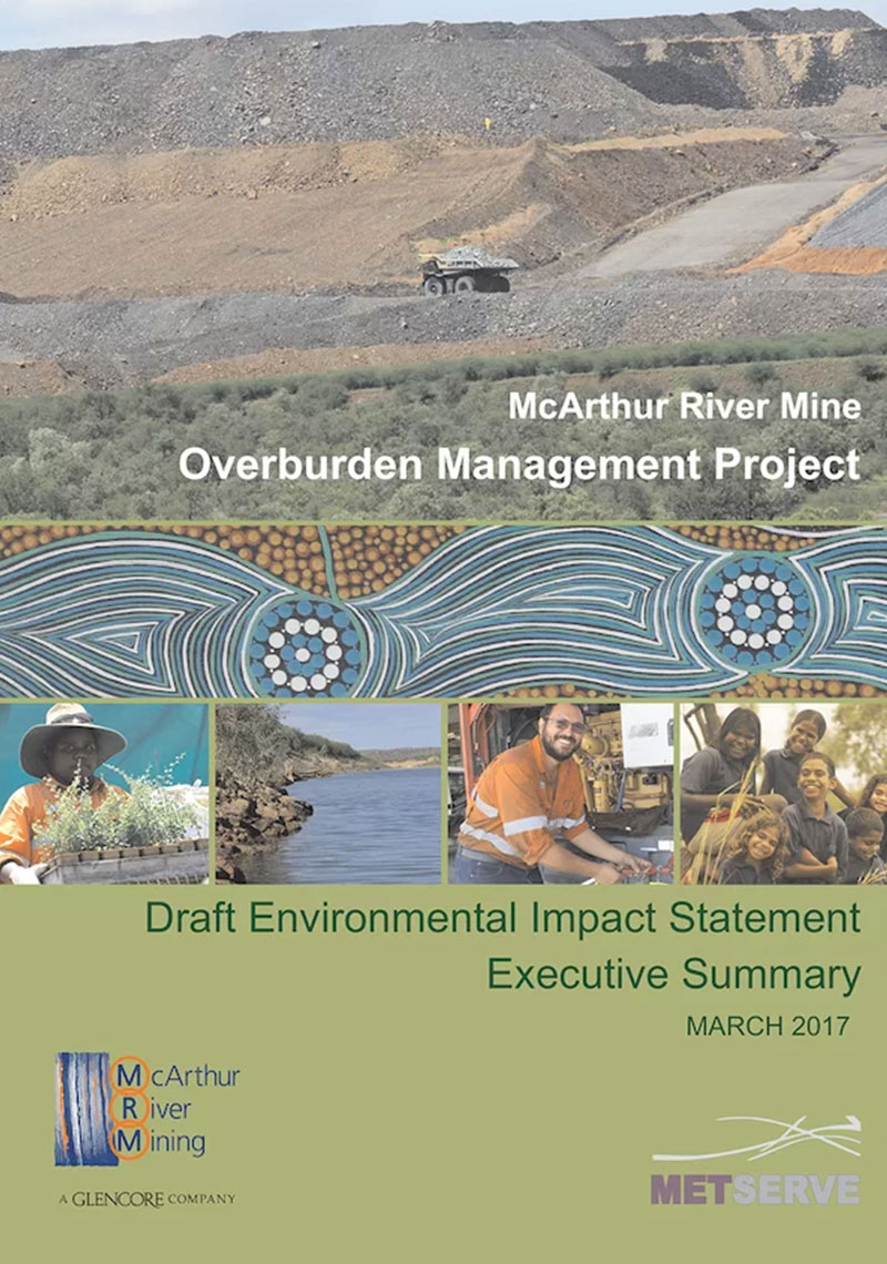
McArthur River Mine, Mar 2017 – Overburden Management Project – Draft Environmental Impact Statement – Executive Summary
McArthur River Mining (MRM) is a major open cut operation, developing one of the largest known sedimentary stratiform zinc-lead-silver deposits in the world. MRM is located approximately 65 kilometres (km) southwest of the township of Borroloola by road, in the Gulf of Carpentaria, Northern Territory.
In short, a Project which began with evaluating a geochemical matter associated with the overburden has now informed and influenced the processes for environmental management and operations for the remainder of the mine-life and created greater clarity and planning around long term mine closure and rehabilitation for the benefit of the region.
Green Coast Resources, Jan 2015 – Hey Point Bauxite Project – Dugong Management Plan
The Dugong (Dugong dugon) has been identified by the Minister for the Environment as a species that is likely to be impacted upon by the activities associated with the Hey Point Bauxite Project (HPBP).
This Dugong Management Plan provides a detailed analysis of the Dugong, identifies the potential impacts that may occur in the context of the HPBP and proposes management strategies to mitigate the potential impacts identified.
Green Coast Resources, Jan 2015 – Hey Point Bauxite Project – Sawfish Management Plan
This Sawfish Management Plan has been developed to manage potential risks to the Freshwater Sawfish (Pristis pristis), Green Sawfish (Pristis zijsron) and the Dwarf Sawfish (Pristis clavata) during activities associated with the Hey Point Bauxite Project (HPBP).
The Hey Point Bauxite Project (HPBP) is a proposed small-scale open cut bauxite mining operation located 10 kilometres (km) south of Weipa. This Sawfish Management Plan is based on the Department of the Environment (DoTE).
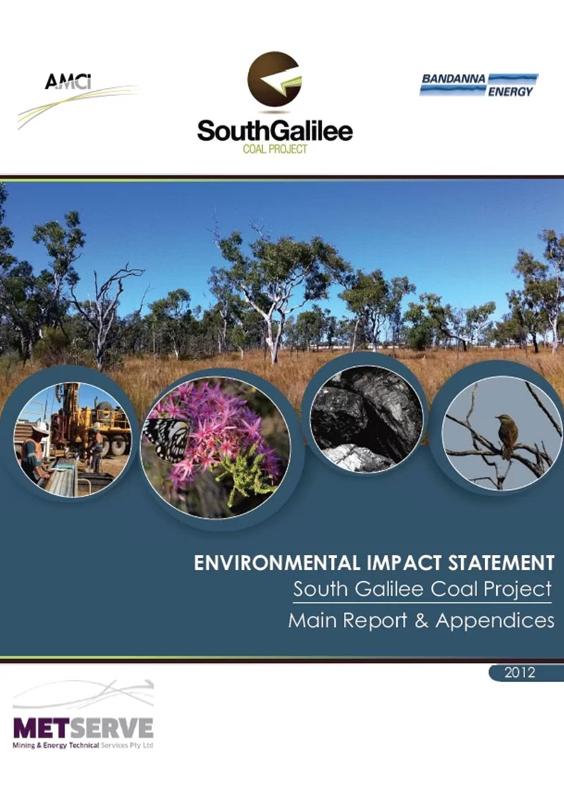
AMCI 2012 – South Galilee Coal Project EIS – Main Report & Appendices
The SGCP is located approximately 12 kilometres (km) south-west of the township of Alpha. Alpha is situated approximately 170 km west of Emerald and 450 km west of Rockhampton in Central Queensland.
The objective of the Environmental Impact Assessment (EIA) process is to identify and assess the potential impacts associated with a particular development and develop measures to avoid or mitigate impacts identified.
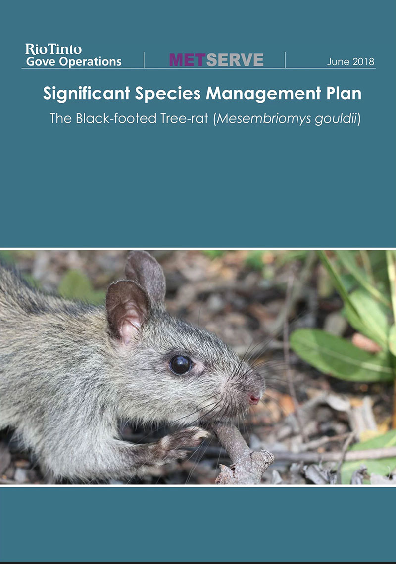
Rio Tinto, Alcan Gove, Jun 2018 – Significant Species Management Plan – Black-footed Tree Rat (Mesembriomys gouldii)
The purpose of this Significant Species Management Plan is to identify potential impacts of mine development and operation on the Black-footed Tree-rat, and provide management measures to be implemented prior to, during and after mining to avoid and/or mitigate impacts to the species within the Gove mining lease.
This SSMP will act as a tool to assist Rio Tinto Gove Operations personnel and contractors in determining the extent of compliance required by them with regards to the regulations and guidelines applicable to the conservation of this species. Such SSMP’s are a valuable tool for minimising environmental impacts of mining activities and other large-scale projects.
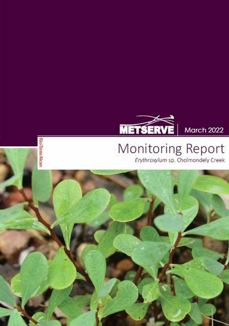
Rio Tinto, Alcan Gove, Mar 2022 – Monitoring Report – Erythroxulum pusilium
Erythroxylum sp. Cholmondely Creek is a small, woody sub-shrub found primarily on Cape York Peninsula, QLD. A small, asexually reproducing population present on the Rio Tinto Gove Operations mining lease is the only known population of the species occurring in the Northern Territory. This species is listed as Endangered under the Territory Parks and Wildlife Conservation Act (TPWC Act). As such, it is the focus of efforts by Gove Operations to monitor the condition of this natural population.
Gove Operations is establishing new populations from nursery-grown material sourced from the natural population. These populations are being established in sites geologically and ecologically similar to the natural population, and away from potential disturbance by human traffic or planned future mining activities.
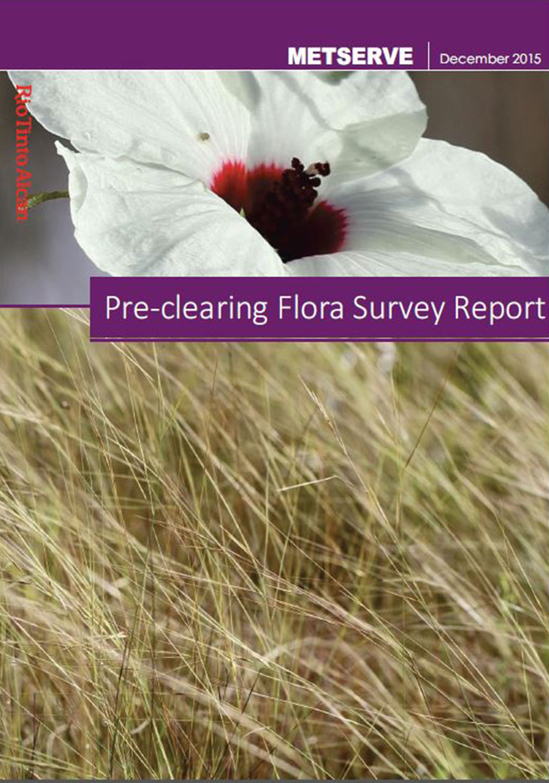
Rio Tinto, Alcan Gove, Dec 2015 – Pre-clearing Flora Survey Report
Extensive surveys of the Gove Operations mining lease over the past 13 years by METServe have resulted in the area being one of the best-surveyed regions in eastern Arnhem Land.
These surveys have identified a number of threatened plant species, although most of these are restricted to monsoon forests and swamps away from the mining operations (Cowie and Stuckey 2008).
The only threatened plant that has been recorded to date in eucalypt woodlands within the Gove Operations mining lease is the small sub-shrub Erythroxylum pusillum. A single small, clonal population of this Endangered species is located in the north of the Gove Operations mining lease. This is the only known population of the species in the Northern Territory. See also “Monitoring Report – Erythroxulum pusilium”.

